If you’ve been reading my blog for very long then you know I love Homeschool in the Woods like I love chocolate cake. I’ve been telling you about their wonderful Time Traveler series since this blog began!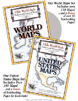
Well today, I get to share with you a new favorite from Amy Pak, Olde World Style United States & World Maps!! In the same manner as everything else Amy produces, these maps are absolutely gorgeous. I can go on and on telling you how wonderful they are or you can just see for yourself how amazing they look. You can download samples of each set, the United States and the World.
I’m not even gonna try to ‘sell’ you on the maps and their quality. Amy does that perfectly well through her beautiful artwork. Rather, I’d like to tell you about some of the features of the sets. As if the quality alone isn’t worth it, Amy has put together some wonderful resources to accompany her exquisite workmanship.
(if you’d like to see any of these images in a larger size, you may click on them to do so)
The World Maps set includes over 130 maps and retails for $18.95 as a digital download. If you’d like a cd, you’ll need to add one dollar.
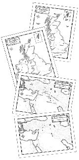
All maps are hand-illustrated in black & white. The series includes both ancient and modern style maps that mark countries, cities, landforms, rivers and other bodies of water as well. The ancient maps are pretty much just physical maps while the modern maps give you political lines.
You can print or view them with or without labels and titles, borders or no borders, divisions or no divisions.
My absolute favorite set of maps are Paul’s missionary journeys. Seriously!! What a blessing to have this available as we study the New Testament! (thank you so much for these, Amy!)
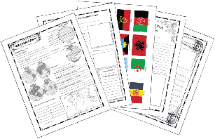 Also included with the maps are very handy, very well-done notebooking pages – over 40 actually! Now… I’ll probably upset someone for saying this but I’ve seen a ton of notebooking pages in my day. Free resources and some very NOT free at all. Amy’s bonus pages are hands down some of the best I’ve ever seen. Ever. My favorites are the Seven Wonders of the World, Missionaries to the World, and Itineraries (great for field trips and vacations).
The United States set follows similar lines, also retailing at $18.95 for the digital download; one dollar more for the cd.
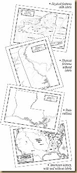
Containing over 180 maps, this set includes not only physical and political maps but many others to aid in American history such as maps of Native Tribes, the colonies, slave and free states, and growth maps beginning in 1800 on up to 1959.
The State maps are all provided in three formats – labeled, unlabeled, and outlines. The outlines are essentially that – blank maps with no markings at all inside the state lines.
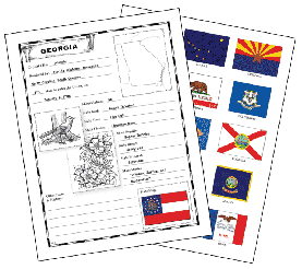
The big bonus with the US map set are the State Fact Sheets. Each state has its own fact sheet that your child will fill in. (Don’t worry a teacher key is provided. ) Also included are flags for every state. These are excellent for State studies. You could easily create a beautiful portfolio of the United States with just this resource!
I suppose you already know… I LOVE THESE! Of course, I haven’t found anything of Amy Pak’s that I don’t love. Beautiful artistry combined with thorough research and pain-staking accuracy make Homeschool in the Woods my favorite place to go for homeschool history materials. I recommend you download the combo set for $28.95 right now!!
-Sara O’
